Buying on Boca Grande’s waterfront comes with incredible views and real questions about what you can do with the shore. If you are eyeing Harbor Drive waterways or a Gulf-facing home, you want clarity before you commit. In this guide, you will learn how littoral rights work in Florida, how boundaries shift with the shoreline, and what to check before planning a dock or seawall. Let’s dive in.
What littoral rights mean in Boca Grande
Littoral rights belong to owners whose property touches tidal waters, like the Gulf of Mexico or tidal bays and harbors. On Gasparilla Island, that includes Gulf-front parcels and many east-side properties along Charlotte Harbor and the Intracoastal. These rights typically include access to the water, reasonable use of the shore for recreation, and potential rights tied to gradual shoreline changes. Building improvements like docks or piers is possible but always subject to permits and regulations.
Littoral vs. riparian rights
You will also hear “riparian rights,” which apply to owners on rivers, streams, and smaller non-tidal waters. The concepts often overlap with littoral law, but the terms reflect the waterbody type. In Boca Grande, most buyers consider littoral rights because the waters are tidal. If you are evaluating a canal or backwater parcel, confirm whether the waterway is tidal and navigable.
Where your boundary sits
In Florida, the upland owner’s boundary on tidal waters generally runs to the mean high water (MHW) line. Seaward of MHW is usually state-owned submerged land held in trust for the public. On non-tidal inland waters, boundaries are measured to the ordinary high water mark. Because shorelines move, a recent survey that locates the current MHW or OHWM is essential.
Accretion, erosion, and storms
Florida follows common-law rules for shoreline change. Accretion and reliction are gradual processes that can increase a parcel’s dry land over time, which can shift the boundary in favor of the upland owner. Gradual erosion reduces upland area, which can limit usable space for improvements. Sudden changes from storms, known as avulsion, usually do not move the legal boundary right away.
Public trust and access
The state holds certain submerged lands and tidal areas for public uses like navigation and fishing. Owning a Gulf-front property does not mean you own the land below MHW. Public access can also be influenced by recorded easements and local programs. If a parcel is near public access points, review any recorded documents that affect the shoreline area.
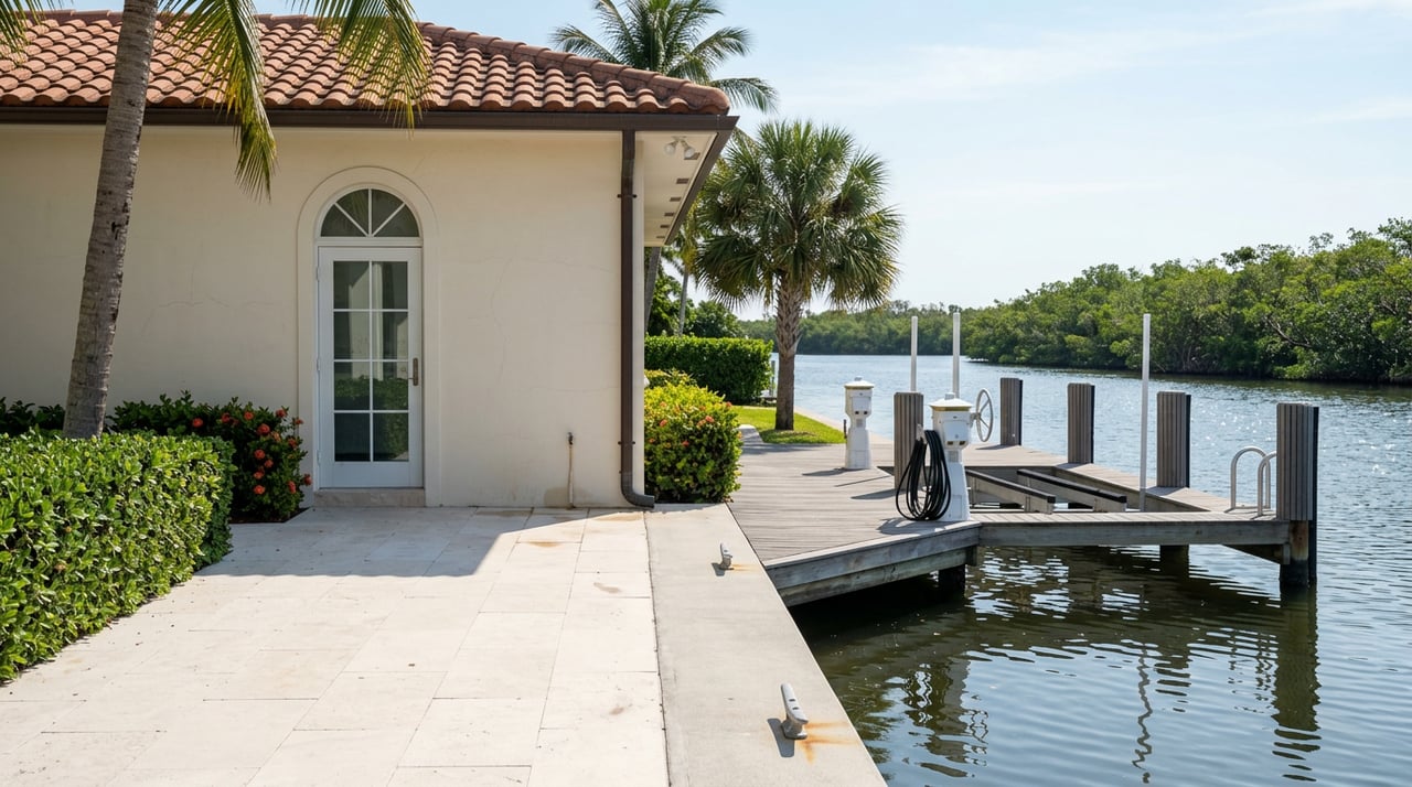
Docks and shoreline permits
On Boca Grande, many buyers want a private dock or boat lift. Docks, seawalls, revetments, and dredging usually need permits from different agencies. At the state level, the Florida Department of Environmental Protection oversees activities on sovereign submerged lands and coastal protection areas. At the federal level, the U.S. Army Corps of Engineers may regulate structures or dredging in navigable waters. Locally, Lee County permits and zoning rules apply to docks, seawalls, shoreline protection, and floodplain work.
Gulf-front parcels and CCCL
If you are considering a Gulf-facing property, be aware of the Coastal Construction Control Line, which sets special setbacks and construction standards in sensitive coastal areas. Work seaward of the CCCL needs additional review. This matters for new builds, additions, and certain shoreline protections.
Practical factors that change value
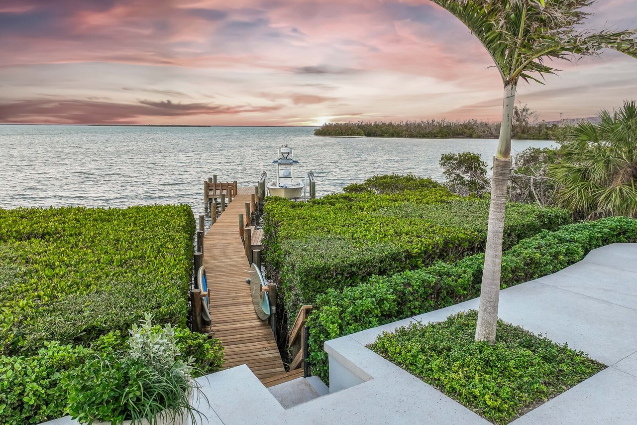
Water access and navigability drive enjoyment and long-term value. On Harbor Drive and similar waterways, check water depth at low tide and channel access to open water. Verify if shoaling occurs and whether maintenance dredging is common or restricted by habitat protections. For existing docks and lifts, confirm the permit history and any size or vessel limits.
Seawall condition and type are also major cost factors. Ask about expected life and replacement options for bulkheads or riprap. If structures are shared with neighbors or managed by an association, review who pays for repairs and how special assessments work.
Environmental and habitat rules
Shoreline habitats such as mangroves and seagrass beds are protected. Trimming, removal, or alteration often needs permits and may require mitigation. Gulf beaches have special rules during sea turtle nesting season. These protections can affect dock siting, dredging feasibility, and construction timing.
Insurance and flood risk
Waterfront properties are subject to flood and wind risk. Flood insurance depends on FEMA flood zone designations and building elevation. Lenders may require certain engineering or construction standards for marine structures. Ask for an elevation certificate and speak with insurers early so you understand coverage, deductibles, and any structural requirements.
Due-diligence checklist for Boca Grande waterfront
Use this quick list to structure your review on Harbor Drive, the harbor side, or Gulf-facing locations:
Title and shoreline rights
- Confirm that the deed references littoral or riparian rights and identify any shoreline or dock easements.
- Review covenants and restrictions that limit boat size, lifts, or rentals.
Survey and boundary
- Order a current survey that locates the mean high water line or ordinary high water mark.
- Verify the placement of existing docks, lifts, and seawalls on the survey.
Permits and compliance
- Request the complete permit history for docks, seawalls, revetments, and dredging.
- Confirm if any permits are expired, grandfathered, or require renewal.
Shoreline condition
- Review historical aerials and local reports for erosion or storm impacts.
- Ask contractors about maintenance cycles and typical costs.
Access and navigability
- Check depth at low tide, channel markers, and no-wake zones.
- Confirm dredging responsibilities and restrictions.
Local and state rules
- For Gulf-front parcels, confirm whether CCCL rules apply.
- Note mangrove and seagrass protections and relevant Lee County code provisions.
Insurance and lending
- Obtain preliminary flood and wind quotes and gather elevation data.
- Confirm lender requirements for docks and marine structures.
Shared features and neighbors
- Identify joint seawalls or shared dock agreements and how costs are split.
Environmental considerations
- Check for mapped habitats that affect dock placement and timing of work.
Engage specialists
- Consult a real estate attorney with coastal experience, a surveyor familiar with tidal datums, and a marine contractor or coastal engineer.
How we help on Harbor Drive and beyond
Every shoreline on Gasparilla Island is different. Gulf-front parcels face wave energy and CCCL rules, while harbor-side homes may balance dock feasibility with channel depth and habitat protections. You deserve clear answers before you write an offer. Our team pairs neighborhood-level insight with practical permitting know-how so you understand what is likely achievable on your specific lot.
If you are weighing two homes with very different water access, we can help you compare depth soundings, dock scope, and maintenance obligations. If you are considering a long-term hold, we can help you evaluate erosion history and potential impacts on future improvements. When you are ready, we will connect you with surveyors, coastal engineers, and marine contractors who know the island’s waterways.
Ready to talk through a specific Boca Grande shoreline or dock scenario? Reach out to The Steffan•Sieglaff Team for a discreet, detailed consultation. How much is your home worth?
FAQs
What are littoral rights for Boca Grande waterfront owners?
- Littoral rights apply to properties on tidal waters and typically include access to the water, reasonable shore use, and certain rights tied to gradual shoreline changes, subject to permits and regulations.
Do I own the sand in front of a Gulf-front Boca Grande home?
- In Florida, upland ownership generally runs to the mean high water line; land seaward is typically state-owned submerged land held in trust for public uses.
Can I build a dock on a Harbor Drive waterway parcel?
- Many parcels can support docks, but construction and modifications usually require permits from the state, federal agencies, and Lee County, and must account for depth, habitat, and navigation.
How do accretion, erosion, and avulsion affect my boundary?
- Gradual accretion or reliction can move the boundary seaward, erosion can reduce upland, and sudden avulsive events generally do not change the legal boundary immediately.
What permits do I need for a seawall in Lee County?
- Seawalls and shoreline stabilization commonly require approvals from Lee County, state review for work on or near submerged lands, and in some cases federal authorization.
Why does the mean high water line matter to a buyer?
- The MHW line sets the typical boundary between private uplands and state-owned submerged lands and helps determine where improvements can be placed and which permits are needed.